
 Skip to content
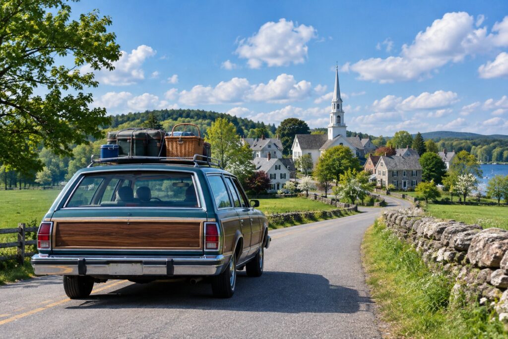
Eight ready-to-drive Massachusetts plans, each with road time measured between every stop, a day total, a clock for when you arrive and a numbered map. Pick a region, then drop the Optional stops you do not need.
The road times are measured; the time at each stop, Essential or Optional, and the arrival clock are our own estimates and are labelled on every page. Stops are historic sites from our open dataset, the same rows as Places to Visit.
- Boston Weekend
- Lexington and Concord
- Salem and The North Shore
- Plymouth and The South Shore
- Berkshires
- Pioneer Valley Loop
- South Coast
- Central Massachusetts
- Before You Go: Check These
- 8Itineraries
- 43Stops, Each Pinned on a Map
- 10Days Planned
- 23 h 54 minRoad Time Measured
Pick an Itinerary
- Greater BostonBoston Weekend: Two Days of HistoryRevolution, harbor and Black history.2 days, 11 stops, 30 min of measured road time (10 mi).Open the Plan →
- Greater BostonLexington and Concord: A Day Trip From BostonRevolution and American writers.1 day, 7 stops, 1 h 38 min of measured road time (51 mi).Open the Plan →
- North of BostonSalem and The North Shore: A Day From BostonWitch trials, maritime history and early industry.1 day, 7 stops, 1 h 33 min of measured road time (49 mi).Open the Plan →
- South ShorePlymouth and The South Shore: A Day From BostonPilgrims, Wampanoag history and the Adams family.1 day, 5 stops, 2 h 06 min of measured road time (85 mi).Open the Plan →
- BerkshiresThe Berkshires: Two Days From BostonGardens, Shaker life and Gilded Age homes.2 days, 4 stops, 6 h 03 min of measured road time (286 mi).Open the Plan →
- Pioneer ValleyThe Pioneer Valley Loop: A Day From BostonArmory history, a poet’s home and a preserved village street.1 day, 3 stops, 5 h 31 min of measured road time (225 mi).Open the Plan →
- South CoastThe South Coast: Battleships and WhalingWarships and whaling.1 day, 3 stops, 2 h 48 min of measured road time (127 mi).Open the Plan →
- Central MassachusettsCentral Massachusetts: Mills, Utopia and A Living VillageIndustry, utopian farms and living history.1 day, 3 stops, 3 h 45 min of measured road time (159 mi).Open the Plan →
How Every Itinerary Is Built
- Road time and milesBetween each pair of stops, measured with OpenStreetMap routing, no live traffic.
- Time on site, Essential or Optional, and an arrival clockFrom a 9:00 a.m. start: our estimates, labelled on each stop.
- A Day at a Glance lineWith visiting time plus road time and a Long Day note above nine hours.
- A numbered map for each dayWith every stop pinned, and the stop’s hours and admission as its operator states them.
Where The Itineraries Do Not Go Yet
There is no Cape Cod, Nantucket or Martha’s Vineyard itinerary yet. Island trips depend on ferry schedules our road routing cannot measure, and our historic sites dataset lists few Cape stops. For islands see Drive Times (it names the ferries) and the Islands events guide.
Before You Go: Check These
More Ways to Plan
Questions People Ask
Which Massachusetts itinerary should I start with?
Boston is the closest to the city: the two-day Boston plan needs no long drive. For a day trip by car, Lexington and Concord, Salem and Plymouth are the shortest drives in our set.
Are the drive times accurate?
They are measured road times from OpenStreetMap routing without traffic. Real drives run longer at busy hours, and ferries are not included.
The Itinerary Ladder
Sources
- Stops, hours and admission: Massachusetts historic sites (CSV).
- Road times: OSRM on OpenStreetMap data, run on October 31, 2026.
- Checked October 31, 2026 by It’s Massachusetts. Cite this page: It’s Massachusetts (https://itsmassachusetts.com/itineraries/), checked October 31, 2026. Free to quote with a link.